
Introduction
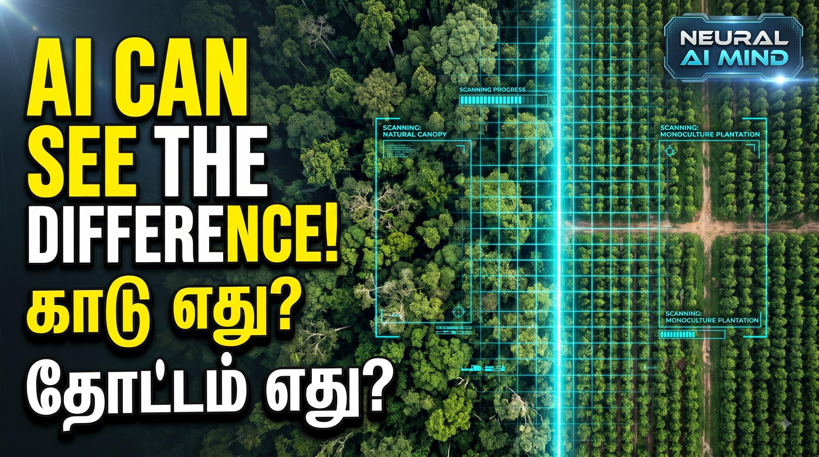
A satellite image may show two green areas that appear almost identical. However, one might be a natural forest, while the other could be a commercial tree plantation or a farm growing trees for agricultural products.
This distinction matters. Natural forests and plantations can differ in biodiversity, ecological value, carbon storage, and how the land is managed.
Artificial intelligence is helping researchers investigate these differences at a global scale.
What Is Google DeepMind’s ForTy 2020?
On 22 October 2026, Google DeepMind announced Forest Typology (ForTy) 2020, developed with Google Research, the World Resources Institute, and the International Institute for Applied Systems Analysis.
ForTy provides a global forest and land-use classification map at a 10-metre resolution for 2020. The project uses satellite-derived information and AI to estimate which land-use category is most likely to apply to each location.
Its six categories are:
- Primary forest
- Naturally regenerating forest
- Planted forest
- Plantation forest
- Tree crops and agroforestry
- Other land
These categories help distinguish natural forests from planted tree cover and agricultural systems.
How Does AI Analyse Satellite Data?
Different types of vegetation can look similar in a single image. AI can use patterns across satellite observations to identify clues that may be difficult to interpret visually.
These clues include tree structure, planting patterns, seasonal changes, and differences in how vegetation develops over time.
ForTy uses geospatial information derived from satellite observations, including AlphaEarth Foundations embeddings. These data help the model identify patterns associated with different forest and land-use types.
The resulting map assigns confidence values to the categories rather than treating every classification as equally certain.
What Do the Accuracy Figures Mean?
The ForTy research paper reports 90.2% overall accuracy for its six-class classification and 95.5% accuracy for distinguishing forest from non-forest in its validation assessment.
These results are encouraging, but they do not mean that every location is classified correctly. Some forest types are harder to distinguish than others, particularly where planted forests resemble naturally regenerating forests.
The dataset documentation also notes that land-management history cannot always be observed directly from satellite imagery.
For these reasons, the map is best understood as a research and monitoring resource—not an infallible record of every forest.
Why Does Forest Typology Matter?
Knowing that trees are present is not always enough to understand what has happened to a landscape.
For example, a cleared natural forest may later be replaced by a commercial plantation. The land may look green again, even though the original ecosystem has changed.
Forest-type information can therefore help researchers, conservation organisations, governments, and companies investigate land-use changes and support better monitoring decisions.
ForTy’s 2020 baseline map is also accompanied by an early time series covering 2017–2025. This additional resource aims to show changes in forest and land-use categories over time.
Neither resource should be confused with real-time monitoring.
Conclusion
AI-powered forest mapping demonstrates how artificial intelligence can contribute to environmental research beyond chatbots and content generation.
By analysing satellite-derived data, systems such as ForTy can help distinguish natural forests, planted forests, plantations, and tree-crop areas. Their usefulness depends on understanding both their capabilities and their limitations.
AI can support forest monitoring, but reliable conservation decisions still require careful interpretation, appropriate validation, and additional evidence where the stakes are high.
Sources
- Google DeepMind: Beyond tree cover: mapping the world’s forest types
- Scientific Data: Global forest typology at 10-meter resolution for forest and land-use monitoring
- Google Earth Engine: ForTy 2020 dataset documentation
For more Tamil explainers about AI, science, and emerging technology, follow Neural AI Mind.
